Jim, Pamela, JC, Bobby, Peg, Ron, Carla, & Tom's Excellent Adventure
or
What We Did on Our Winter Vacation
The Ringleader
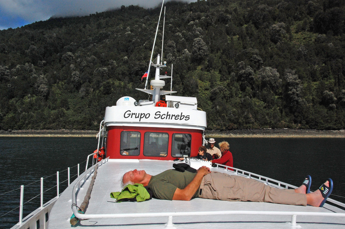
Herr Schrebs assumes command of our vessel
The Gang of Eight
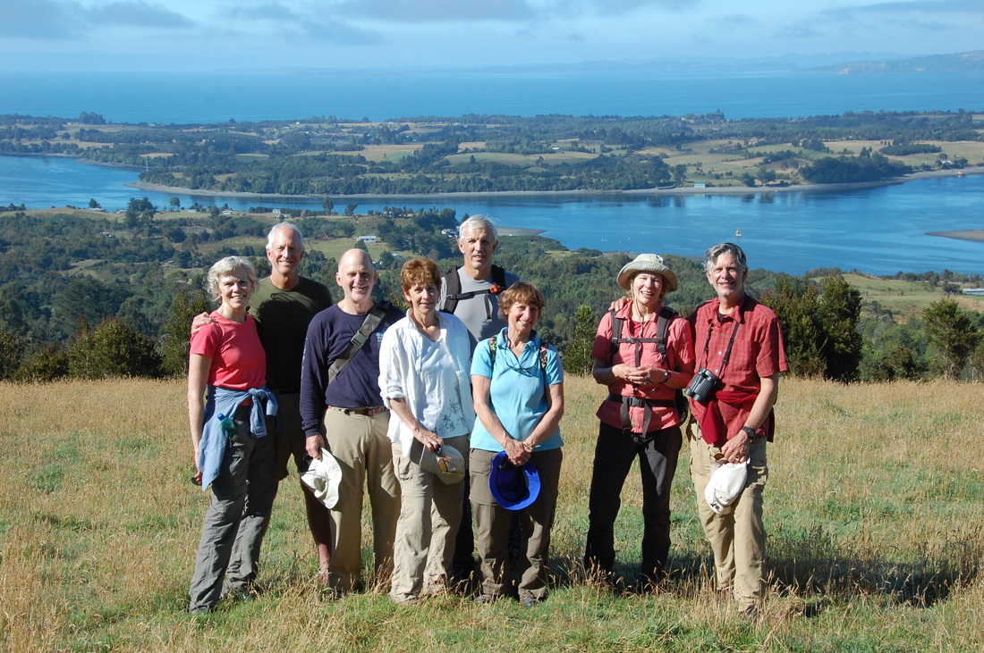
A motley octet convenes atop Mechuque Island: Pamela, Jim, Tom, Peg, Ron, Carla, Bobby, & JC
The Odyssey
In early February 2011, four couples gathered for a few days in Buenos
Aires and then flew south for an extensive tour of Patagonia. We
had phenomenally good luck with the weather, which can be absolutely
dreadful there even in summer, and a marvelous tour that exceeded
everyone's expectations. The logistics and other arrangements (guides,
drivers, vans, boats, hotels, meals, route selection, etc.) were all
done by Austral Adventures in Chile and Walk Patagonia in
Argentina. We strongly recommend both of these organizations to other
travelers. The guides were delightful, the hikes were spectacular, the
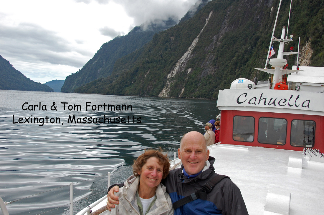
meals and lodgings were first-class, and our five days aboard
Cahuella—cruising the fjords of Pumalín and archipelago of Chiloé—were simply sublime.
We were introduced to drinking mate—a tea-like drink that's ubiquitous in Argentina and southern Chile—and the ever-popular South American cocktail called a pisco sour. We ate gobs of meat, and new kinds of fish like conger, and we learned to sprinkle merkén on whatever we were served. We saw guanacos, rheas, condors, buzzards, flamingos, ibis, parrots, caracaras, dolphins, penguins, woodpeckers, a torrent duck, cormorants, sea lions, a sea otter eating a crab, a tame red fox, and even a not-so-tame puma. Only the reclusive armadillos eluded us.
We learned a lot about geography, glacial science, local culture, sustainable agriculture, national politics, and South American history from our remarkably erudite guides. Two were accomplished photographers, one an expert fly fisherman (and a mechanical engineer), one a mountain climber, one the former chairman of the Chilean guides association, and all had encyclopedic knowledge of their countries, of Patagonia, and of the national parks.
We discovered that "rivalry" is far too mild a word to describe the relationship between Argentina and Chile. A century of border disputes was (mostly) settled only recently, and the gerrymandered border in the national parks we visited testifies to the complexity of that compromise. Our interminable border crossing reflected the bad blood that remains: the officious Argentinean border guards spent over an hour considering whether to release us from their custody, and at the border we had to unload our baggage and walk to a new van because neither driver was allowed into the other country.
Our first Chilean guide, Erick, said that tempers on his side of the
border had cooled only after Chile finally beat Argentina in soccer (a
fact that the Argentines either repressed or failed to mention). Once, looking up at a peak known as Cerro Nido de Cóndor, someone asked Erick when we would see a condor flying over
it. "In about three minutes," he replied and, mirabile dictu,
a majestic condor soon soared into view. Duly impressed, we requested a
visit from a puma, to which Erick replied "Of course, and if you wish I
will sacrifice an Argentinian tourist and feed him to the puma."
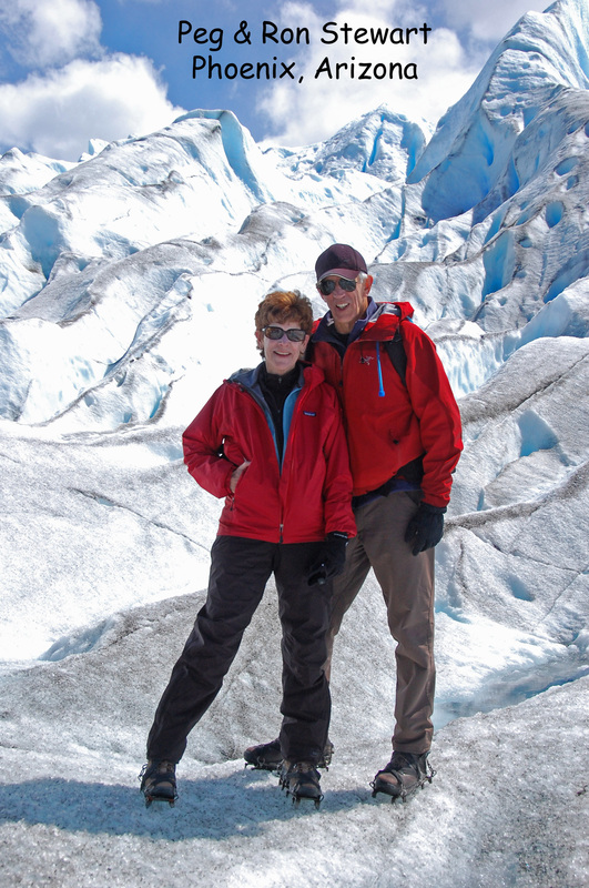
We hiked—23 kilometers the first day!—and hiked and hiked through some of the most spectacular terrain on earth. We saw the craggy peaks like Fitz Roy and Los Torres that attract the best climbers in the world. We saw—and walked on—the glaciers like Perito Moreno and Glaciar Grey that extend down from the mammoth Southern Ice Field and calve into frigid Patagonian lakes. We tramped through forests, past wild rivers and iceberg-strewn lakes, across fragile meadows, onto hilltops with breathtaking views, and through bamboo groves on machete-cut paths. We luxuriated in forest streams fed by natural hot springs and, on our last day, wandered the crumbled lava flank of a snow-covered volcano. We cruised in fjords so steep that we could reach out and touch the walls, past majestic waterfalls and through a picturesque archipelago with tiny fishing villages that defy the frantic pace of modern life.
We had, without a doubt, an Excellent Adventure. And as Ron frequently reminded us, Life Is Good!
The Odysseans
Here is the Gang of Eight that journeyed to Patagonia. Afterward Jim, Pamela, J.C., and Bobby went on from Santiago to Easter Island. The same four also made a pre-tour visit to Iguaçu Falls, along with Rob & Marta, on their way to Buenos Aires.
The Geography
Online maps of Patagonia are generally sketchy, incomplete, and riddled with errors. The Google database, for example, has very few place names and only the main highways (of which there are few) are shown with any accuracy. I made an interactive map of our journey at BikeMap.net; it's a bike mapping site built on top of the Google mapping platform and works just fine for this purpose. It has the usual Google Maps conventions plus the following controls: [3/25/11: The original interactive map broke; this one is new and should work better.]
Here are four snapshots from the (original) interactive map. I can't seem to make them any more legible, so I recommend that you use the interactive version to see the details.
- Use the buttons at upper right to select Map, Hybrid, or Terrain views. The "More" button is also interesting.
- Use the double-arrow button at upper right (next to Terrain) to enter/exit full-screen mode.
Here are four snapshots from the (original) interactive map. I can't seem to make them any more legible, so I recommend that you use the interactive version to see the details.
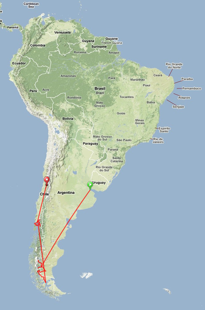
We started in Buenos Aires (upper right), toured the area around El Calafate and Torres del Paine (bottom), cruised the Gulf of Ancud and Chiloé archipelago (center left), and finished in Santiago (upper left)
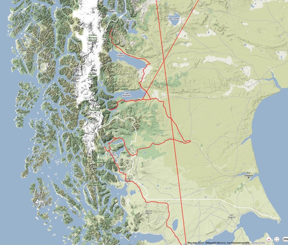
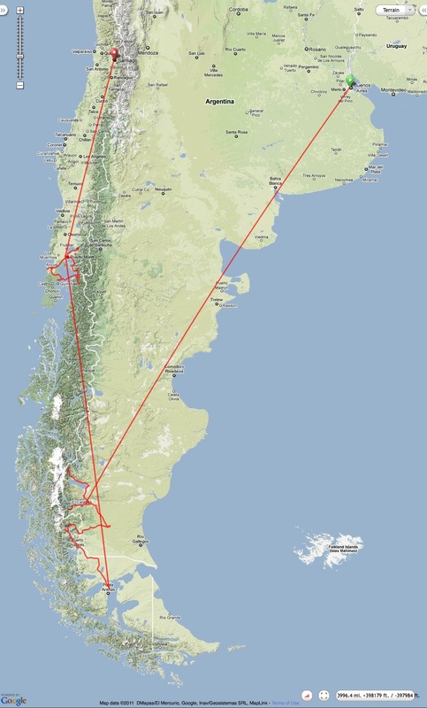
Southern Patagonia: El Calafate is on the south shore of Lago Argentino with Glaciar Perito Moreno directly west. El Chalten is on the northwest shore of Lago Viedma. Torres del Paine and Lago Grey are northwest of Lago del Toro. Punta Arenas and its airport are just off the bottom of the map.
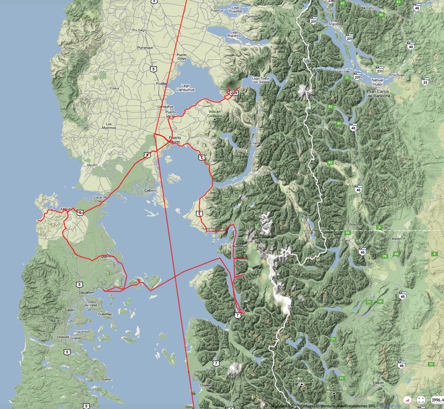
Puerto Montt area: the Gulf of Ancud is bounded by Chiloé (big island to the west) and by the mainland to the east. We cruised the fjords on the east side, crossed the gulf to the small archipelago adjacent to Chiloé, and drove to the penguin colony on the Pacific coast. Returning by road and ferry northeast through Puerto Montt to Puerto Varas on Lake Llanquihue, we also visited Osorno Volcano (the big hump east of the lake and northwest of the '225' marker)
Suggestions for navigating this web site
This web site is constructed and hosted at weebly.com. It's pretty good platform but, like most software, it has a few annoying quirks and bugs. Here are some pointers to help you navigate:
If you have questions, or suggestions for improving the web site, please use the contact form at right.
--Tom
- Navigate to other pages using the horizontal menu below the header graphic at the top of each page; the same menu is repeated at the bottom.
- The "Slideshow" elements advance automatically on a 3-second cycle. There is a "Pause/Play" button but apparently no way to advance or back up manually except by clicking on the thumbnails. However, when you pause it, the thumbnail corresponding to the current slide is no longer highlighted. Worse, if the thumbnails don't all fit in the area provided, they "drift" uncontrollably when you move your cursor over them.
- The "Photo Gallery" elements show captions only when you drag your cursor over the photos. Clicking on a photo brings up an enlarged image and caption, and there are arrows at the bottom to bring up the next or previous photo. If you drag your cursor over the enlarged image, "Prev" and "Next" buttons appear. You can also type "P" or "N" on your keyboard but the arrow keys won't work.
- The single photos (not in a Gallery or Slideshow) can be clicked to pop up a larger image. Unfortunately the caption is missing from the larger image.
- I designed the site based on a fairly wide browser window. If your browser is very narrow (e.g., on an iPhone or iPad), strange things may happen.
If you have questions, or suggestions for improving the web site, please use the contact form at right.
--Tom